| home |
the project |
henry taunt |
photographs |
the book |
exhibition |
authors |
partners |
images |
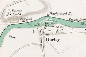
maps |
| Map Specimen |
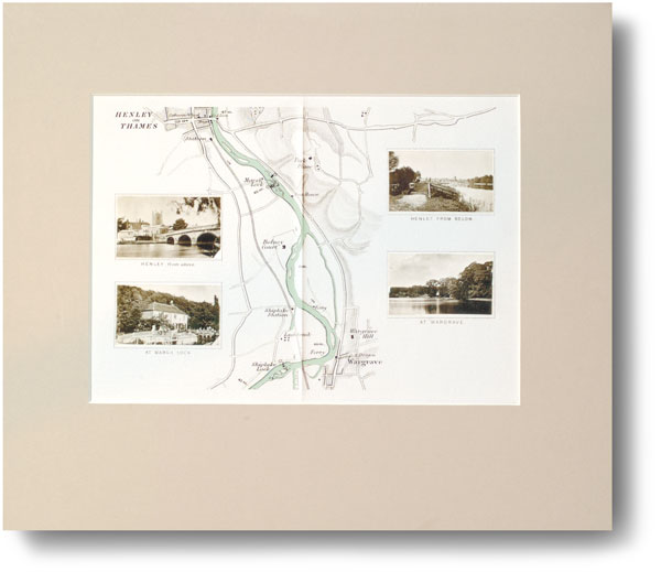
Map 20 Henley in its presentation
mount
Here is an example (Map 20 Henley) of one of our reproductions, printed on archival quality 320 gm cartridge paper.
They are mounted on board 14" X 10" and faced with a bevel-cut mount, with a 9.75" x 7" window.